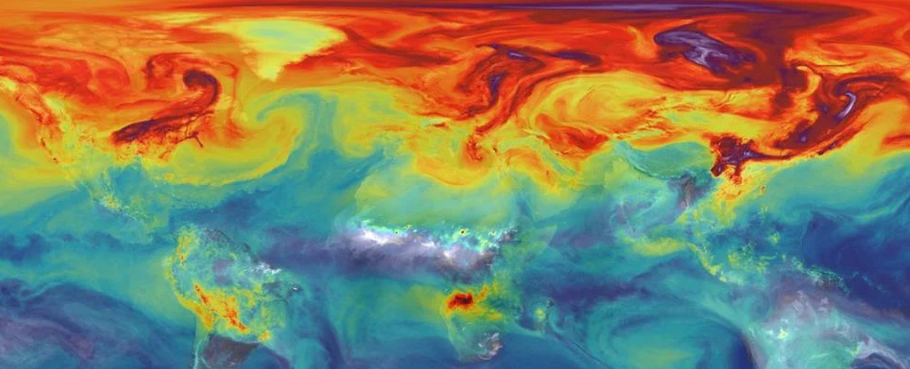
NASA has developed a satellite called the Orbiting Carbon Observatory-2 (OCO-2) which is capable of measuring carbon dioxide (CO2) levels in the Earth's atmosphere from space. The satellite uses a technique called "spectroscopy" to measure the amount of CO2 in the atmosphere by analyzing the light reflected by the Earth's surface.
The OCO-2 satellite can measure the CO2 levels with a high degree of accuracy, and it can track changes in CO2 levels over time. This allows scientists to study the sources and sinks of CO2 on a global scale, and to identify areas where CO2 emissions are highest.
By using satellite data, scientists can track CO2 emissions from specific regions, cities, or even individual power plants, and this information can be used to support policy and decision-making to mitigate the effects of climate change.
It is important to note that satellite data alone is not enough to fully understand the complexities of CO2 emissions and their sources, and it needs to be combined with ground-based measurements and models to fully understand the carbon cycle.


0 Comments